
North Carolina Flight Chart Maps
Handcrafted using maple.
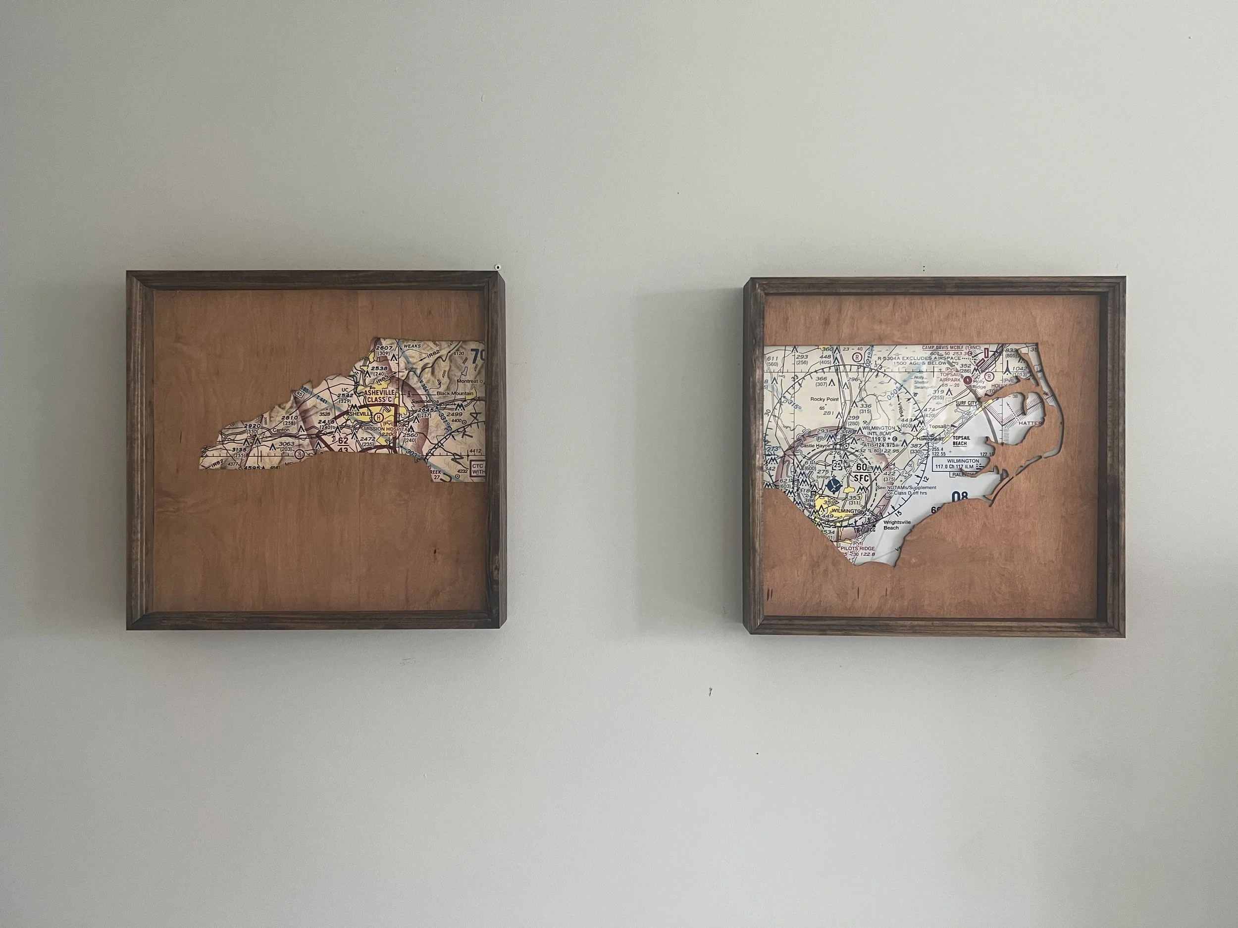
Flight charts for both Asheville and Wilmington represent both the east and west areas of North Carolina, and surrounded by the State outline for each respective side.
Handcrafted using maple.
Flight charts for both Asheville and Wilmington represent both the east and west areas of North Carolina, and surrounded by the State outline for each respective side.