
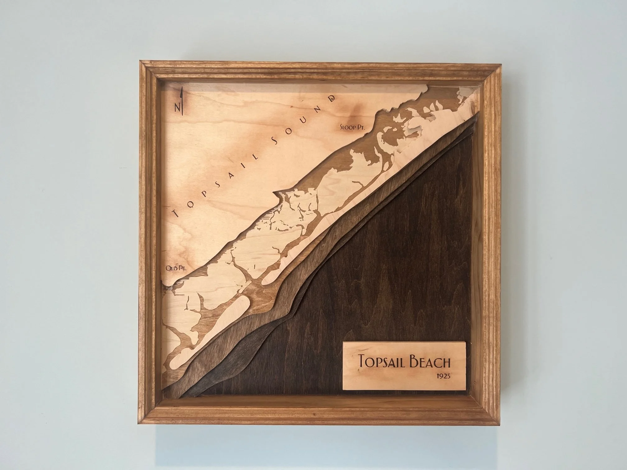
Topsail Beach Bathymetric Map
Handcrafted using maple.
Using a survey completed in 1925, water depth is shown in layers of maple; from the deepest sections, to barrier island areas including Topsail Island and the surrounding landscape.
Historic map used was provided by the National Oceanic and Atmospheric Association (NOAA).